
Middletown ZIP Codes in Context
The local evidence supports a cautious two-row Middletown ZIP code reference. USPS confirms 10940 through the Middletown Post Office listing. Orange County material also associates 10941 with Middletown-related and Town of Middletown addresses, but the research did not locate an official USPS delivery-boundary map or a distinct station assignment for that number. The table therefore states only what the sources support. It does not assign every street, neighborhood, or person to either postal area.
| ZIP | Areas covered | Post office | Notes |
|---|---|---|---|
| 10940 | Core Middletown postal area, supported by central city and city-office use | Middletown Post Office, 40 Fulton Street, Middletown NY 10940-9998 | Confirms a core postal ZIP, not the whole city boundary |
| 10941 | Middletown-related and Town of Middletown addresses in county material | Not verified in the reviewed official sources | Exact USPS delivery geography and station assignment remain unconfirmed |
A Middletown postal reference should preserve that uncertainty. The correct next check is a current postal result for the actual address, followed by county GIS and parcel municipality fields. That sequence is more dependable than assuming every “Middletown” address is inside the City of Middletown.
Middletown 10940 Postal Core
10940 is the best-confirmed core ZIP for Middletown. The USPS location listing for the Middletown Post Office identifies the office at 40 Fulton Street with ZIP+4 10940-9998. City Hall and many central-city records also use 10940, which makes it a strong postal reference when checking a city address. It still does not show where every carrier route ends, whether every 10940 point lies in the city, or which tax municipality controls a returned parcel.
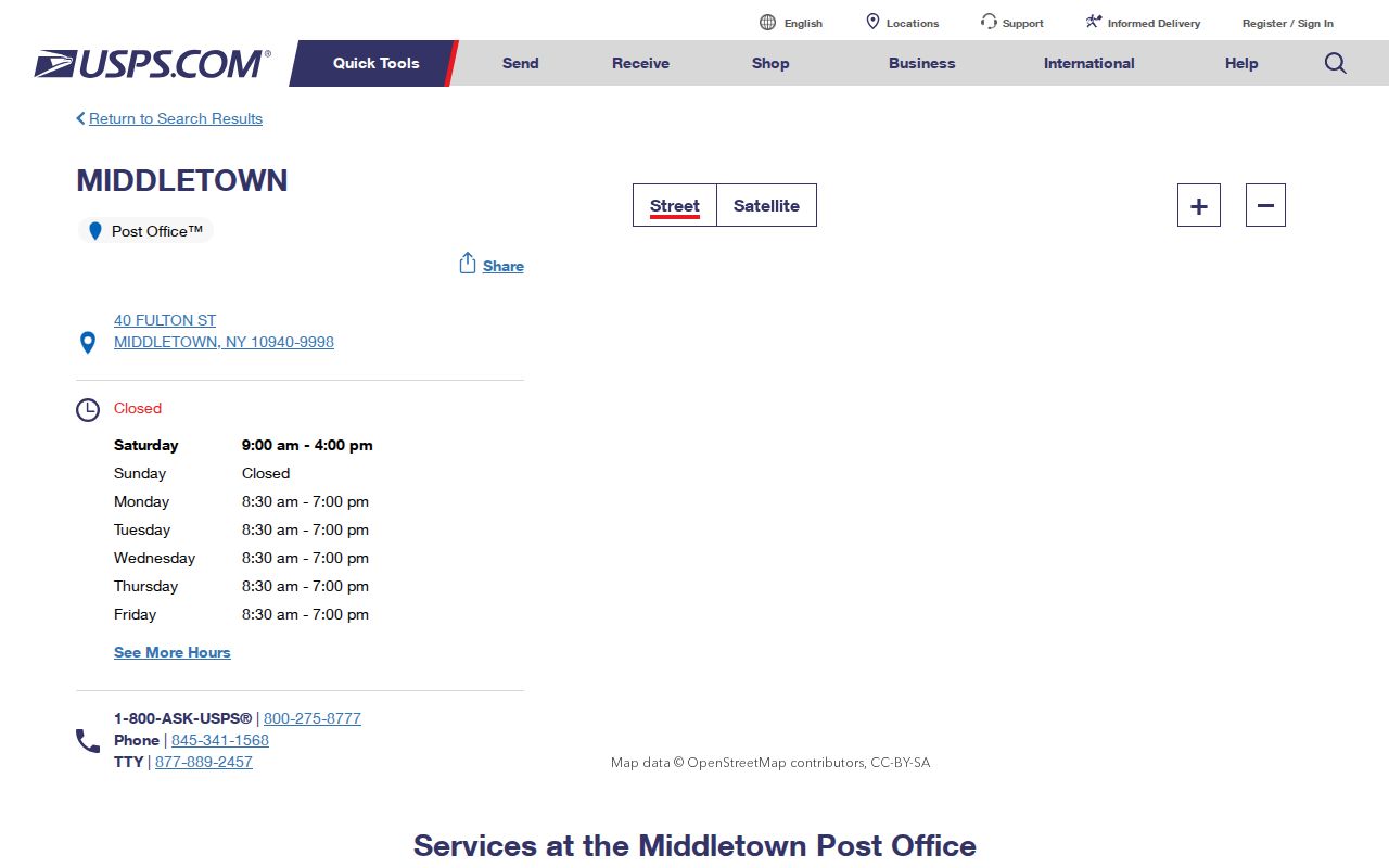
The listing establishes a postal office and ZIP label. Pair it with a specific-address lookup before using 10940 to route a Middletown record search.
10941 deserves a different treatment. It appears in county material for Middletown-related or Town of Middletown addresses, yet the source review found no precise USPS boundary, PO-box-only designation, or unique-ZIP status. Keep 10941 as a confirmation task, not a fixed area drawn from assumption.
Middletown Postal Search Fields
Several official tools accept ZIP information, but they answer different questions. USPS is the delivery route. County GIS is a map candidate. The county parcel system identifies a tax and parcel context. The state voter form uses ZIP as one identity and location field for a registered person's own result. A Middletown postal search is stronger when the response is labeled by its source instead of treating all four tools as one database.
| Tool | Fields or controls | Best answer | Limit |
|---|---|---|---|
| USPS location or ZIP lookup | Address or location, returned location, and ZIP | Postal delivery label and station | Does not establish city incorporation |
| Orange County GIS locator | Address, city, state, ZIP, and autocomplete | Candidate map point | Postal place may differ from municipality |
| County Parcel Information | Owner, address, tax map, and municipality | Parcel and tax jurisdiction | Owner and mailing fields are not occupancy proof |
| NYS VoterLookUp | County, last name, first name, date of birth, address information, and ZIP | Registered person's current registration, poll-site, or mail-ballot route | Not a downloadable ZIP list |
| City ward maps | Street and ward map | Political district context | Wards are not postal boundaries |
Note: A ZIP field narrows a search, but the municipality field and parcel identifier decide whether a returned address belongs to the City of Middletown.
Find Middletown Records by ZIP
Use a ZIP as one field in an address-verification workflow. The public sources reviewed do not provide a lawful, ready-made list of Middletown households by postal code. Instead, work from a known address or a record question. This keeps the postal directory useful for parcel, map, and civic geography without converting it into a mass directory.
- Check the full address through USPS and record the returned postal city and ZIP. Do not infer a city limit from that result.
- Enter the same address, city, state, and ZIP in Orange County GIS. Save the candidate parcel and municipality shown on the map.
- Use County Parcel Information to confirm the tax-map identifier and current roll context. Keep situs and mailing fields distinct.
- If a registered person needs to verify their own status, use NYS VoterLookUp with the required name, date of birth, county, address information, and ZIP. Ask the Board of Elections about supervised public-record access rather than scraping the live form.
- When the ZIP has narrowed the place to one street, use the Middletown street directory route for the parcel and recorded-title trail.
Every step should retain the source date. Postal, parcel, ward, and registration data can change on different schedules, so a mismatch often points to a boundary or timing question rather than an error in one source.
Middletown Postal Map Layers
City ward and street maps add another layer to a Middletown postal-directory search. The city publishes street, ward-by-street, ward, and zoning maps. These maps can place a named street in civic geography, while county GIS supplies parcel and municipality context. Neither one replaces USPS for delivery routing. Where a street appears in a postal result but no city map result, first check whether it lies in a surrounding municipality rather than forcing it into a Middletown ward.
The City of Middletown maps page is the public source for ward and street-map context.
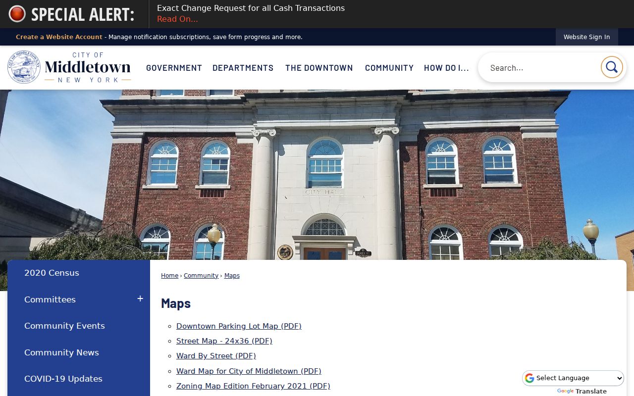
Use the city map after checking the parcel municipality, because a ward can describe a city street segment but cannot settle a postal delivery boundary.
For historical research, keep address aliases visible. South Middletown was the local name from 1829 to 1849, and the old Minisink Road corresponds with modern East and West Main Street. An old postal or directory label may need a map and parcel crosswalk before it is compared with a modern ZIP.
Middletown ZIP Codes and City Limits
Postal boundaries, city limits, tax municipalities, and wards are separate systems in Middletown. “Middletown” can describe the city, a town or county place label, or a USPS postal city serving surrounding areas. A map point with a Middletown postal label is therefore unresolved until a tax-map municipality, ward, or another official boundary source supports the city conclusion. This matters most near municipal edges and for addresses returned with 10941.
- ZIP versus ZIP+4
- A five-digit delivery area is refined by a four-digit add-on for a narrower delivery segment. It is not a city-boundary code.
- PO-box ZIP
- A postal code used only for post-office boxes. No such status was verified for 10941 in the reviewed sources.
- Unique ZIP
- A code assigned to one organization or high-volume destination. No unique-ZIP designation was verified for the local ZIPs here.
- Carrier route
- The mail-delivery path within a postal area. Its boundaries can cross municipal or civic lines.
A county parcel result and a USPS result may both be correct while answering different questions. State the layer used: delivery, municipality, parcel, ward, or historical place name.
Middletown Census Postal Context
Census geography is useful for aggregate context, not for delivery routing. A Census ZIP Code Tabulation Area, or ZCTA, is a statistical approximation of ZIP areas made for tabulation. It is not a USPS delivery polygon. The City of Middletown's Census place profile is likewise city-level context, separate from a postal area. Use those products for population or land-area context and retain their vintage, rather than joining an aggregate result to one parcel or voter record.
The Census QuickFacts profile for Middletown city shows the city-level geographic context used here.
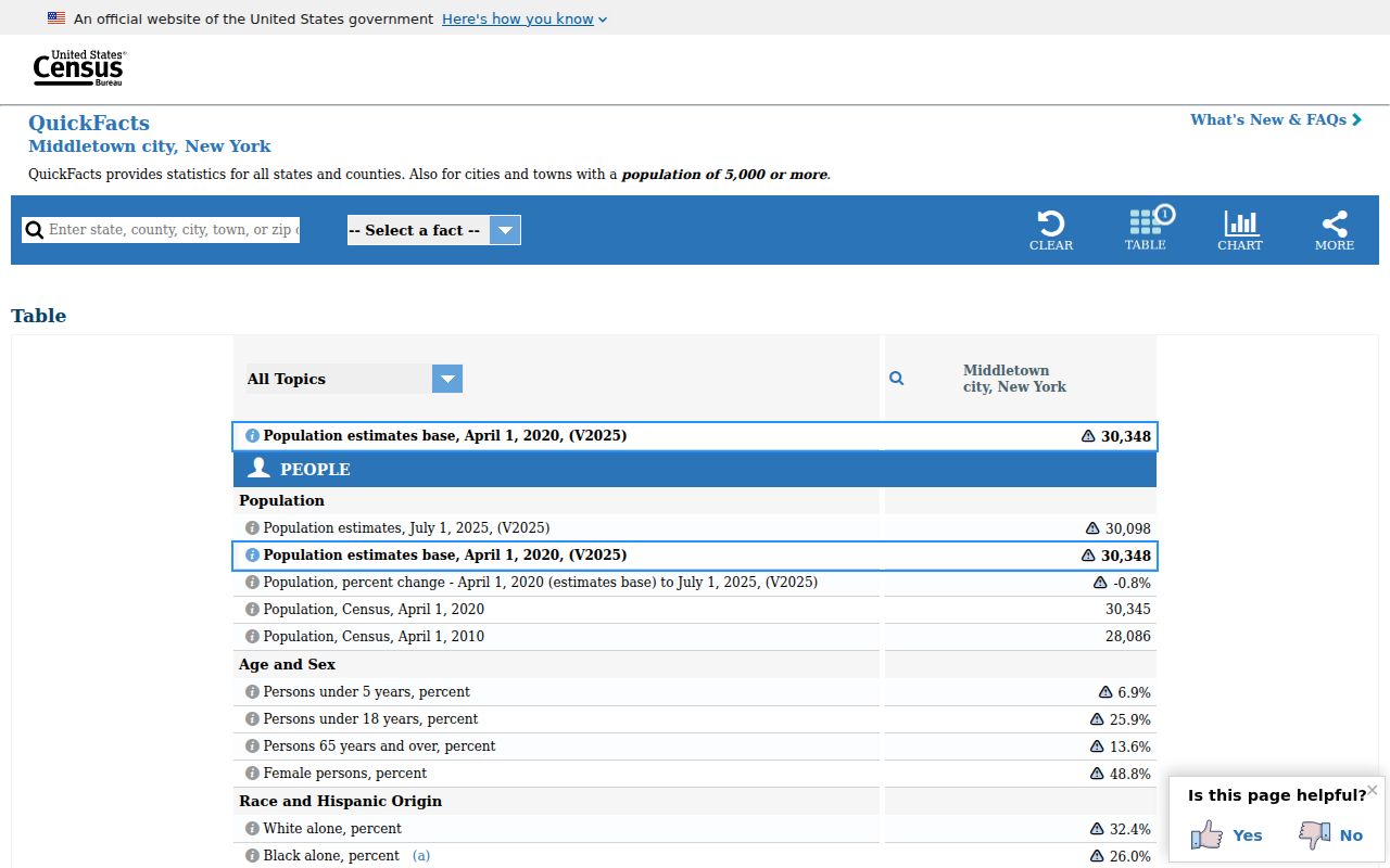
The Census view helps describe the city as a whole, while a USPS result, GIS point, and parcel municipality are needed to resolve a specific address.
Middletown Postal Record Limits
A ZIP can filter a query but cannot prove who is at an address. County parcel data can show a tax-roll owner, not necessarily an occupant. A City Assessor form separates the property location from old and new owner mailing fields. VoterLookUp is a current registration, poll-site, and mail-ballot tool for a registered person, not a public bulk ZIP directory. State law allows supervised public registration records, but protected identification fields and confidential registration remain outside ordinary disclosure. Ask the Orange County Board of Elections for its current inspection or list procedure instead of trying to infer information from a live lookup.
New York's Address Confidentiality Program provides a substitute mailing address for eligible people, and actual protected locations must not be reverse-engineered from postal, ward, or poll-site geography. Keep only the field necessary for the record question. A mailing address is not a physical address, and a historical address should retain its date.
Boundary reminder. Use Middletown ZIP information for lawful personal research and source verification. Never use combined map and record details to stalk, harass, or expose a protected person.
Middletown ZIP Address Checklist
Resolve a Middletown postal mismatch by keeping each address layer in the record. Save the current postal result, the GIS candidate point, the parcel or SBL, the municipality, and the applicable ward. For a historical address, also preserve the directory year, old street name, and map source. The correct answer may be that an address is in a nearby municipality with a Middletown postal label, or that a historical source uses South Middletown while the modern map uses East or West Main Street.
When 10941 is involved, state the gap plainly: county material associates it with Middletown-related addresses, but a precise USPS boundary was not verified in the reviewed official sources. Confirm the specific address through USPS or the local post office before treating it as a delivery conclusion. That is a more useful result than a false boundary line.
For a search involving a historical notice or local newspaper, retain the printed postal label but test it against the date. A record may use South Middletown, an older road name, or a nearby town label. GIS can supply a modern candidate point, but the parcel field and the dated map determine whether the comparison is sound. This extra check is especially useful where a present ZIP appears more precise than the historical source really is.